Related
Israeli troops attack protesters in Beita Nablus governorate
Violation: Opening fire on defenseless citizens.
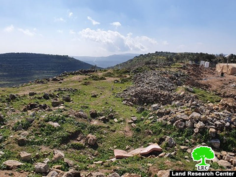
Location: Al-‘Urma mount – Beita town / Nablus.
Date: March 11th 2020.
Perpetrators: The Israeli Occupation Civil Administration.
Victims: 3 citizens from the village.
Description:
Friday March 11th 2020, Massive army forces raided Al-‘Urma mount east Bita and opened life and tear gas on defenseless Palestinian protesters in Al-‘Urma mount, tens of protesters were reportedly suffocated from gas, while 3 were shot and one of them ; child Mohammed Hamayel (15) dropped dead , and two ; Islam Abdulghani Dweikat (23) and Husam Ziad Ma’ali (24) were injured and taken to Rafidya hospital in Nablus.
Bita Municipality head Foad Ma’aly told LRC reporter:
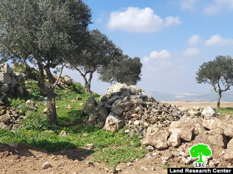
“Itemar settlers are attempting to take over Al-‘Urma mount, they put red signs in several spots around the mountain, and filmed videos asking the Israeli government to Annex the mount to the settlement, claiming that Palestinian farmers who cultivate their lands In Mount Al-‘Urma impose a threat. People of Bita decided to protest in the mount’s lands (about 66 dunums , of which 25 dunums belong to Bita municipality , and the rest 41 are private properties for 15 farmers).
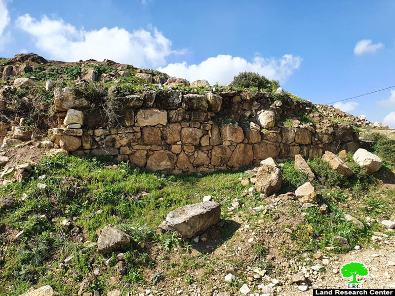
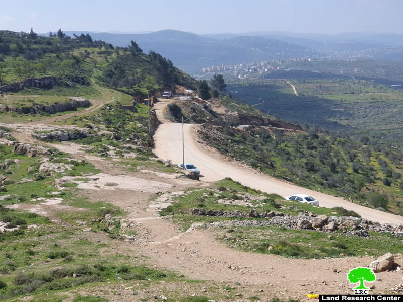
Mount Al-‘Urma is located in (B) area according to Oslo accords which is under the Palestinian Authority control, Beita municipality supplied the mountain with electricity , and opened 800 m road to facilitate farmers’ access to their lands , also to revive the antiquities site (an ancient ruin goes back to the Bronze age).”
Mount Al-‘Urma (an overview):
Mount Al-‘Urma is located 2km to the east of Bita , and it is a part of its lands.
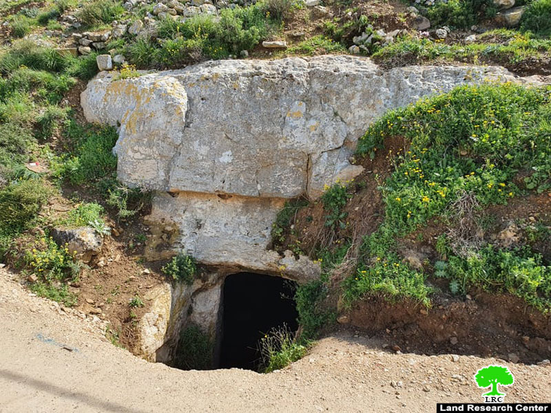
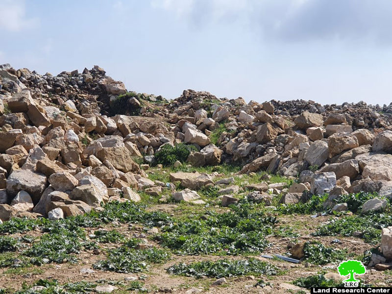
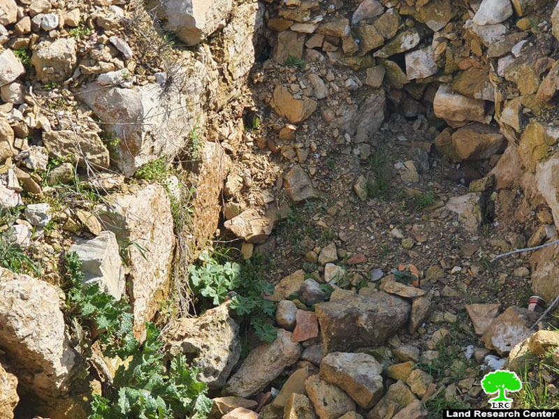
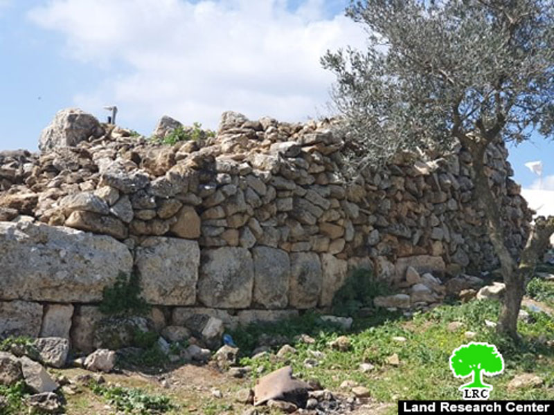
Mount Al-‘Urma in language is a haystack , or the high place, which explains the ancient significance of the mountain since The Canaanite and Bronze eras , it is the second highest mountain in the West Bank (about 840 m above sea level) , the mountain is topped by an 8 dunums antique site consisting of 4 underground wells carved in rocks , each one of the wells has a storage capacity of 400 m3 of water , while other parts of it were used as prison, cemetery ,etc. with its height the mountain served as an impregnable fortress and a watchtower for roads in the past.
Mount Al-'Urma
About Beita:[1]
14 km to the south of Nablus, Beita is founded with a total land area of 17622 dunums, of which 1711 dunums are classified as area "C". Beita's built-up area reaches up to 3693 dunums accommodating 10859 people according to the census of 2015.
[1] GIS-LRC

This report was prepared with EU funding
The Content of this document is LRC responsibility and does not reflect the positions of the European Union

