Related
The Occupation’s municipality forces self-demolition on Al-‘Amira family in Sur Baher / Occupied Jerusalem
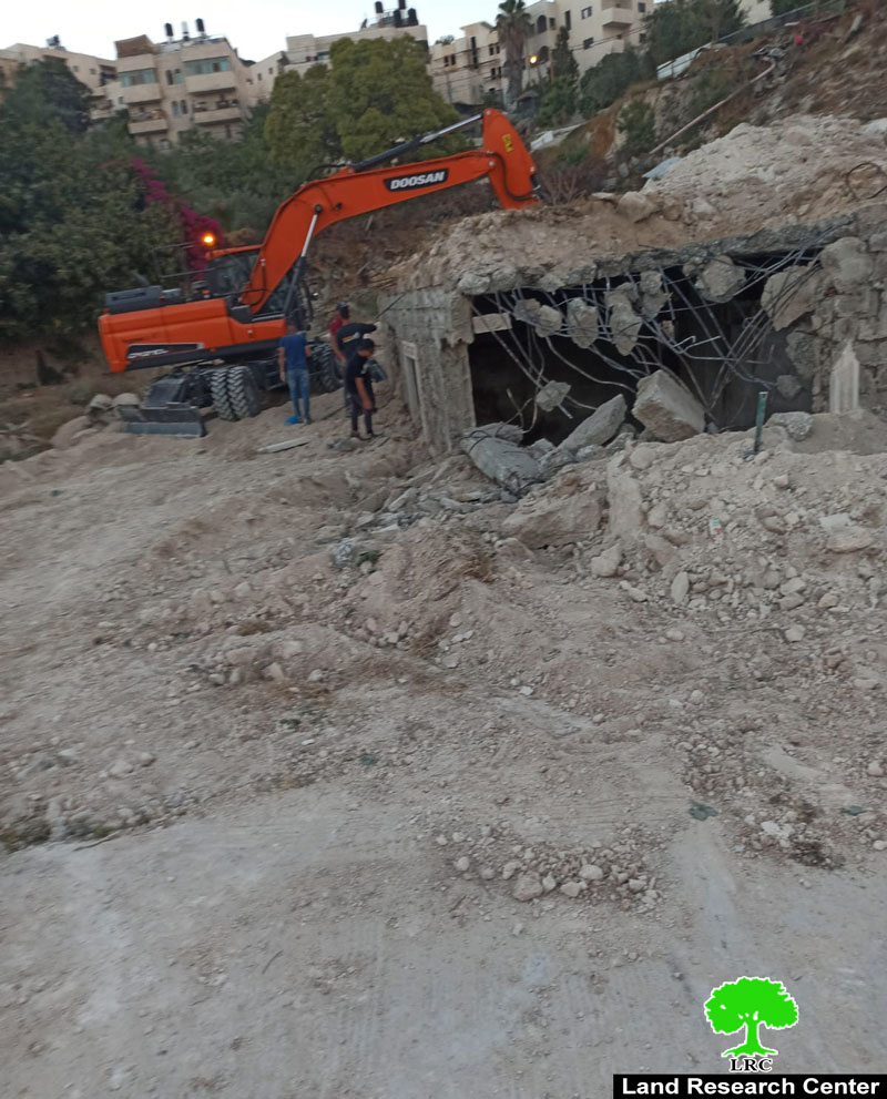
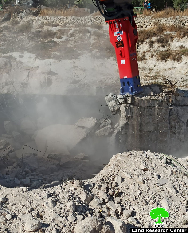
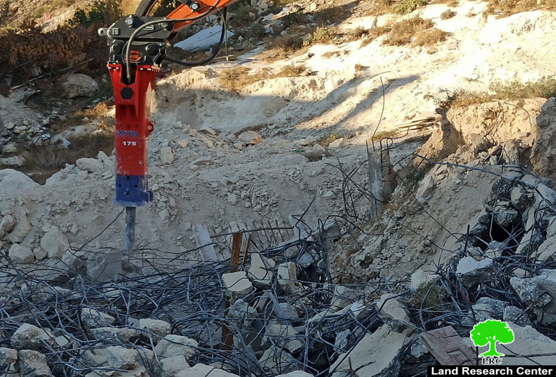
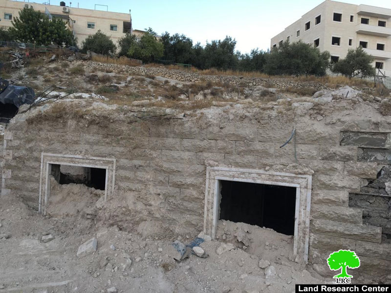
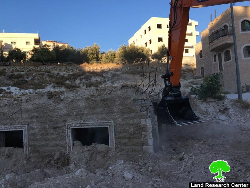
Tuesday, August 25th 2020, citizen ‘Ali ‘Amaira complied to the Occupation’s municipality decision, and carried on demolishing two apartments he owns in Sur Baher south Jerusalem, on the pretext of building without licenses.
Ali ‘Amaira told LRC:
“I own a blot is Sur Baher , on which a two-apartment building was built in 1992 and left unfinished with dirt mounds around it and inside it. So I started removing dirt and cleaning the building to start using it, soon enough I received an order from the Ministry of Interior to stop using the land under claims that it is in a “Green Space”[1], where construction is prohibited.
In August 13th 2020, The Israeli Occupation municipality gave me a self-demolition order, and I complied and carried out the demolition myself to avoid facing the occupation’s expensive fine in case they operate a dozer and carried out the demolition.”.
The Israeli Occupation applies their land settlement and planning laws on Palestinian lands without even the knowledge of Palestinian landowners, so suddenly Palestinians find themselves facing military orders under claims of green spaces, state properties, or archeological sites. On the other hand, when settlers try to build on such areas, the occupation authorities quickly change land-use into residential or construction areas to suit illegal settlers’ wishes, which reflects the racist face of the Israeli government.
Sur Baher village:[2]
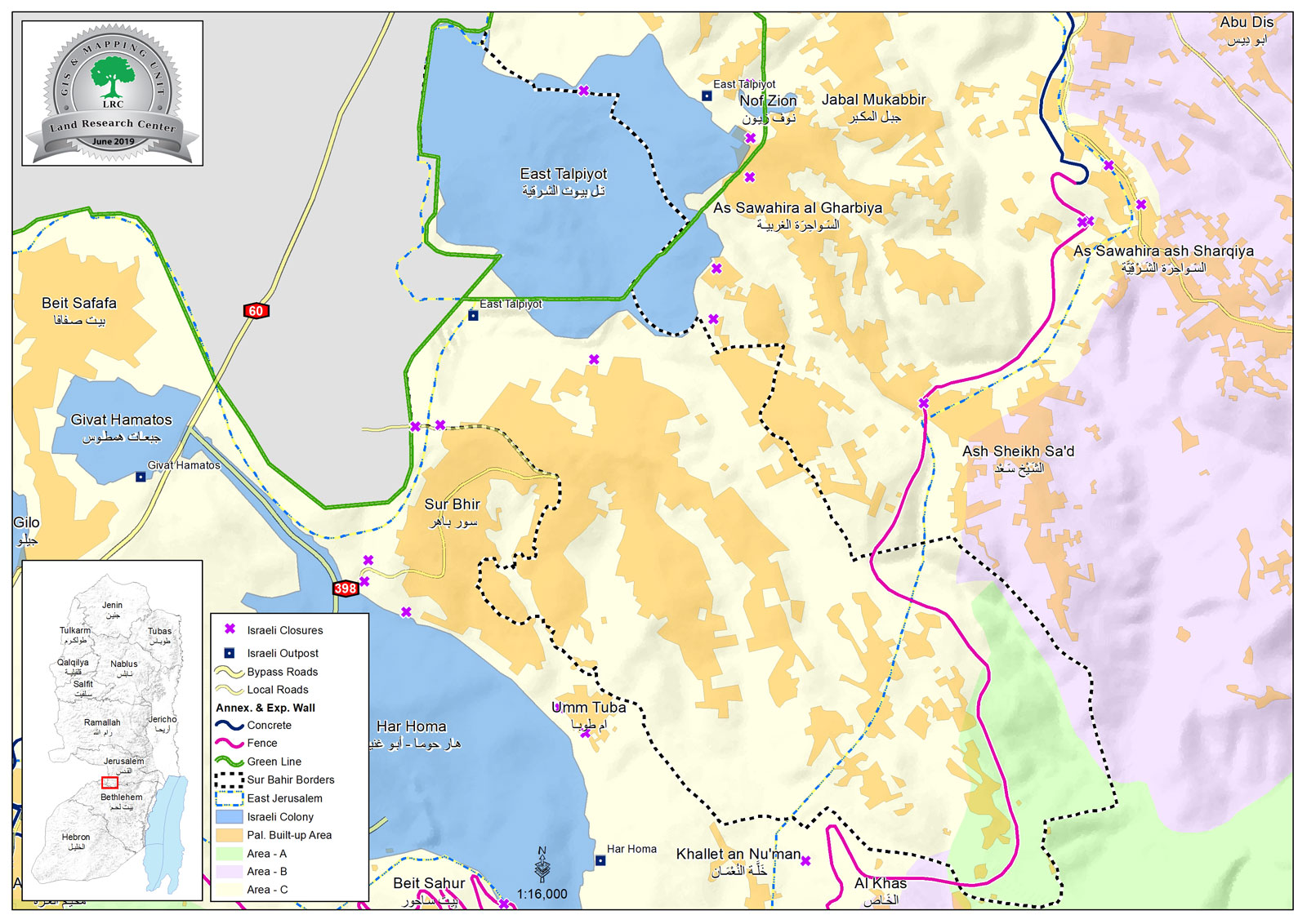
3 km south Jerusalem city, Sur Baher is bordered by Al-Sawahira Al-Gharbiyya, Jabal Al-Mukabir and (Talpiot) settlement on confiscated lands (North), The Green Line and the occupied territories of 1948 , Ash-Shaikh Sa’ad village (east), and Beit Sahour ,Umm Tuba and Har Homa settlement (south).
Sur Baher and Um Tuba together have a population of 18,137 people in 2011 census “The Jerusalem Institute for Israeli studies 2012”.
The town’s population come from several families: Duyat, Dabesh, Nemr, Eleyan, Hamada, 'Amaira, Abu Kufur, Bukairat, Jbour, Jad Allah, Abu Jamid , Al Atrash.
Sur Baher has a total area of 6,894 dunums , of which 2,076 dunums are the town’s built up area, it is in the borders of the occupation’s municipality in Jerusalem, after they illegally annexed it in 1967.
The occupation confiscated (1517) dunums from Sur Baher for the following purposes:
Talpiot settlement, which was established in 1973 devoured 1291 dunums , and inhabited by 12,591 people.
The segregation wall (2,260 m long) devoured 226 dunums, and blocked 6,033 dunums (west) and 861 dunums (east).
Oslo conventions divided the town's lands as the following:
- (A) area (764) dunums.[3]
- (B) area (134) dunums.
- (C) area (5,995) dunums.
[1] Green space: open space areas reserved for public services.
[2] Geographical information system department – Land Research Center
[3] Area classification (A, B, C) are set according to the town’s borders – Palestinian Central Bureau of Statistics/ Local governance, most residential area is within the borders of east Jerusalem.

This report was made with EU funding , the contents of this document are LRC responsibility and do not reflect the positions of the European Union

