Related
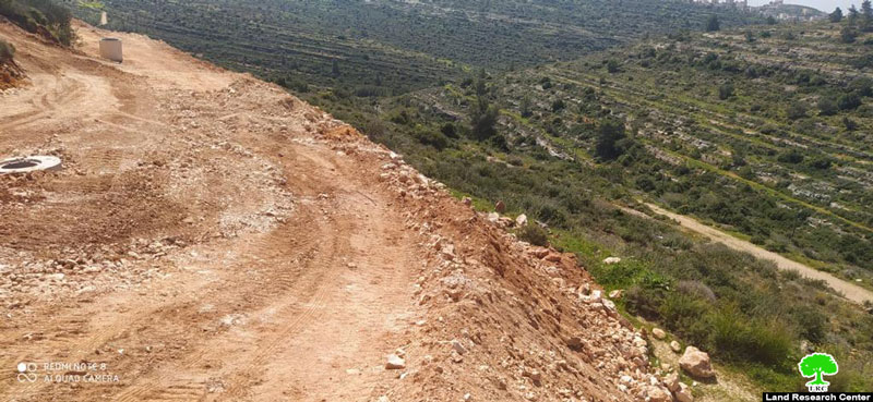
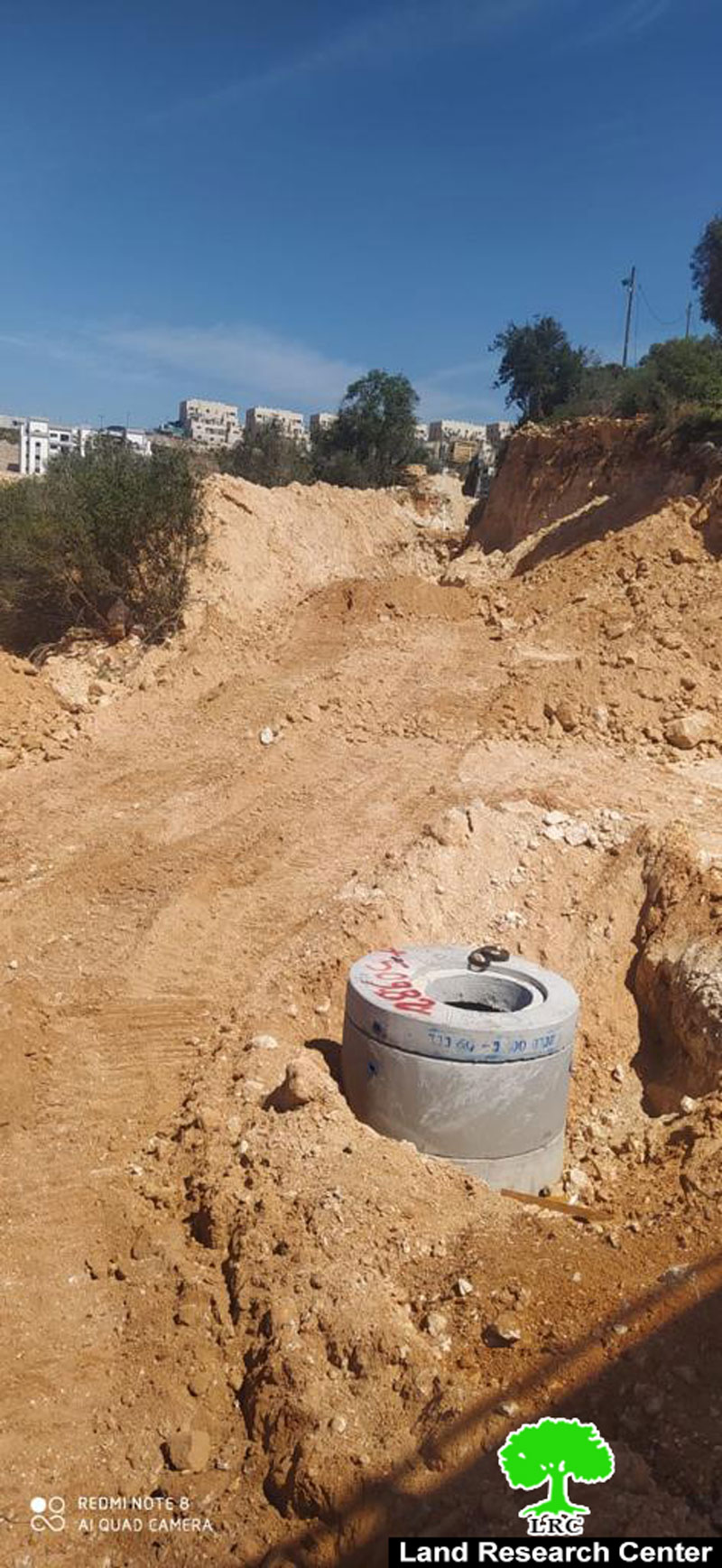
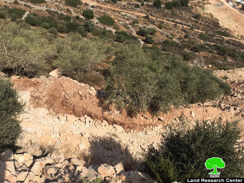
Israeli Settlers of “Nireya†cut off trees and open a new colonial road in Ramallah governorate
Violation: Cutting and sabotaging olive trees.
Location: Ras Karkar village/ North Ramallah.
Date: March 17, 2021.
Perpetrators: Nireya settlers.
Victims : Farmer Nu’man Nofal.
Description:
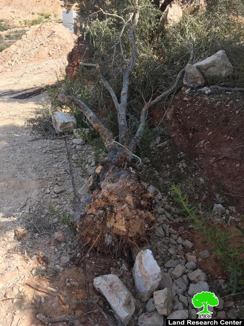
It is reported that on April 21, 2021 Israeli Settlers of “Nireya” broke into the area locally known as “Abu Zaytoun” in the village of Ras Karkar and ravaged an area of 4 dunums planted with olive trees. A total of 12 olive trees belonging to citizen Nu’man Nofal were killed during the attack.
The affected citizen told Land Research Center the following:
“I headed to my land that is located within the buffer zone of Nireya settlement after I obtained an access permit to plow it. To my surprise, the land was ravaged and my trees aging more than 30 years were cut off”
He also added”
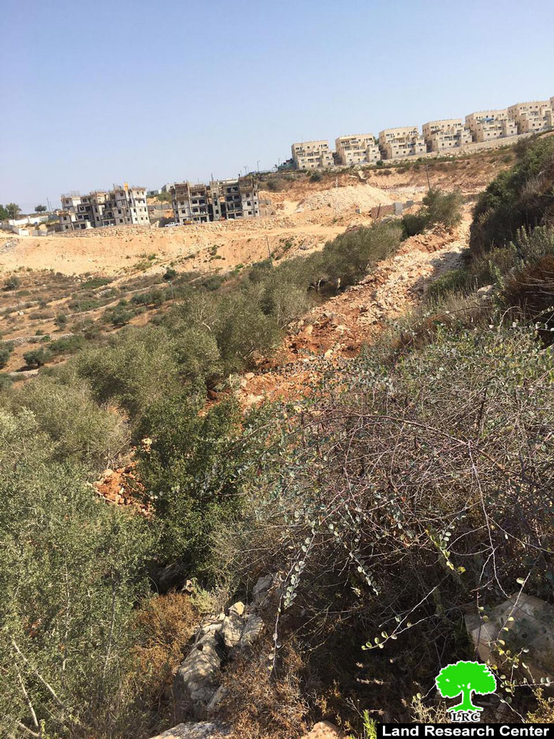
“I own a total of 50 dunums that are located within the buffer zone of the settlement. Over years, the settlement illegally grabbed more than 38 dunums for colonial expansionist agendas, including opening roads and creating infrastructure”
Noteworthy, the affected farmer has previously gone through a similar situation where 22 olive trees aging 30 years were cut off. At time, the affected farmer submitted a complaint to the related authorities of the occupation but it was to no avail.
Ras Karkar village is a hotspot for Israeli violations to the Palestinian land and housing rights. Not only vast areas of land were confiscated for the favor of illegal colonial expansion but illegal settlers also carried out several vandalism and arson attacks against farmers of the village.
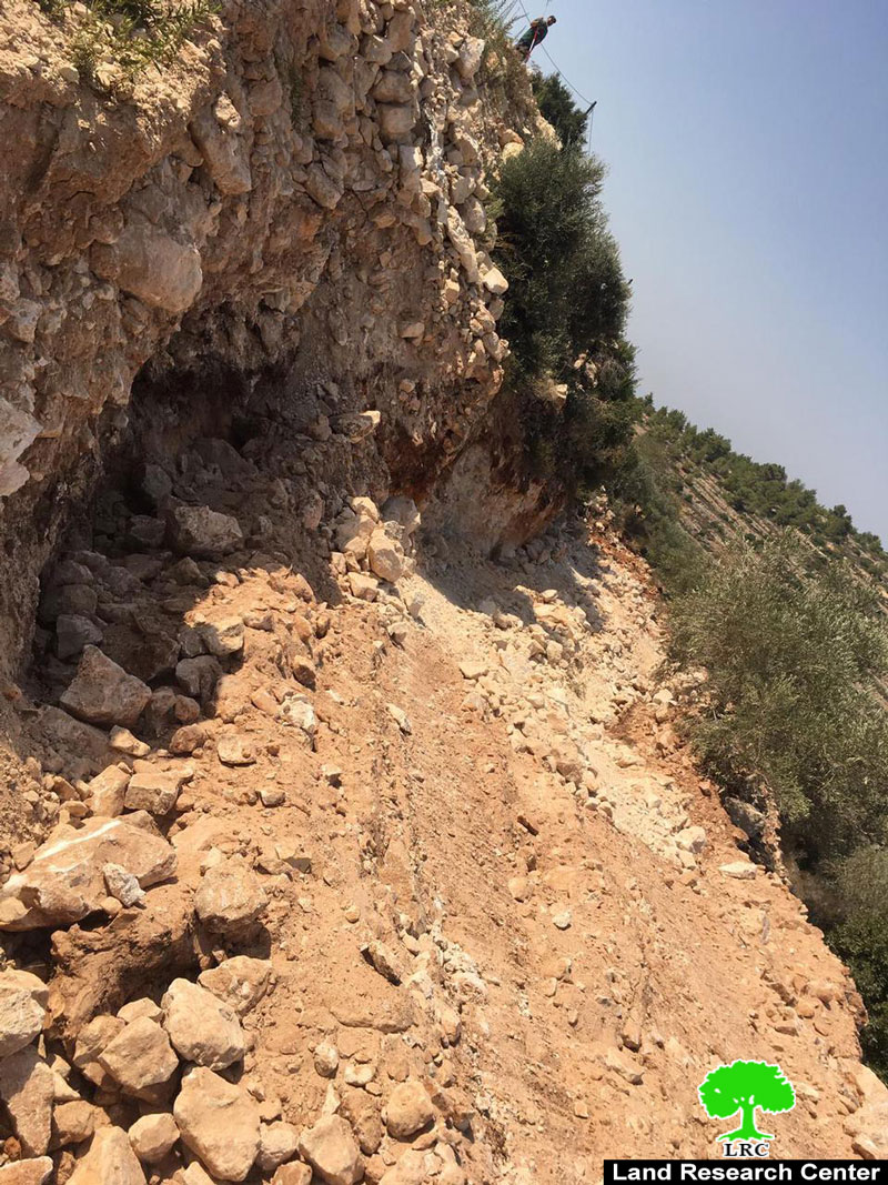
Photos 1-6: opening a new colonial road
Ras Karkar:[1]
15 kilometer north west of Ramallah, It is about 500 m above sea level, and has a total area of 5,050 dunums, of which 330 dunums are a built up area.
Ras Karkar is surrounded by Deir ‘Ammar (north), Kafr Ni’ma and Deir Ibziq (south), Al Jania (east), Bani Harth (west).
Ras Karkar has a population of 1956 people according to statistics conducted by the Palestinian Central Bureau of Statistics in 2017.
The Israeli occupation devoured more than 32 dunums of the lands of the village for Talmon C colony which was built in 1989. Moreover, bypass number ‘463 took over 295 dunums of the village lands.
According to Oslo Accords, 19% of Ras Karkar is under Area B (PA has full civil and security control) while most of the village lands (81%) is under Area C (Israel maintains full security and administrative control). Here is the area in dunums:
Area B (940) dunums
- Area C (4110) dunums
[1] GIS-LRC

This report was prepared as part of Secure Palestinian Land & Housing Rights project activities
The Contents of this document are the responsibility of LRC and do not reflect EU position

