
Related
Demolition Notice for a Residence in Ni'lin town / Ramallah
Violation: Notice of Demolition for a residential facility.
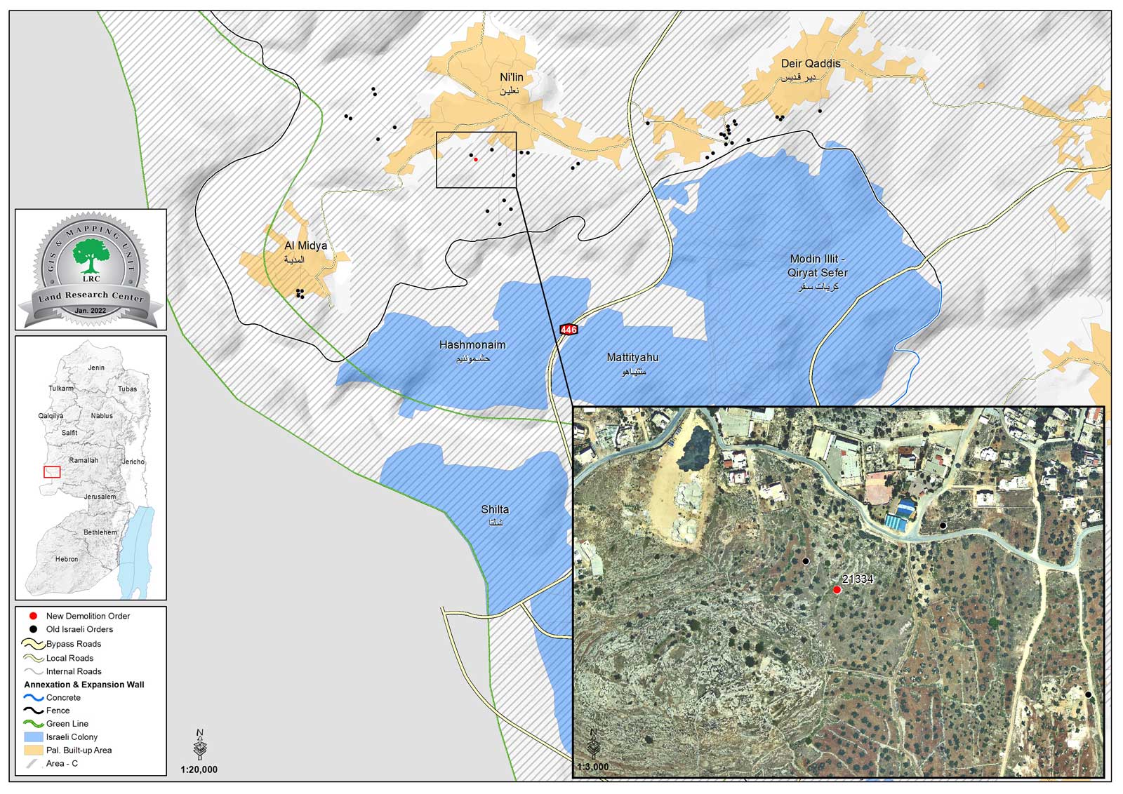
Location: Ni’lin town / Ramallah governorate.
Date: January 3th 2022.
Perpetrators: The building inspector at the Israeli Civil Administration.
Victims: Citizen Barakat Al-Khawaja.
Description:
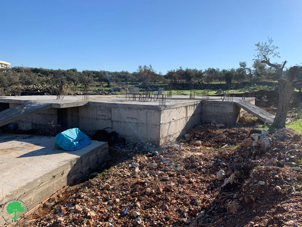
Monday, January 13th 2022, the building inspector at the Israeli civil administration served a demolition notice for a structure that belong to citizen Barakat Al-Khawaja on the pretext of building without a license in area C.
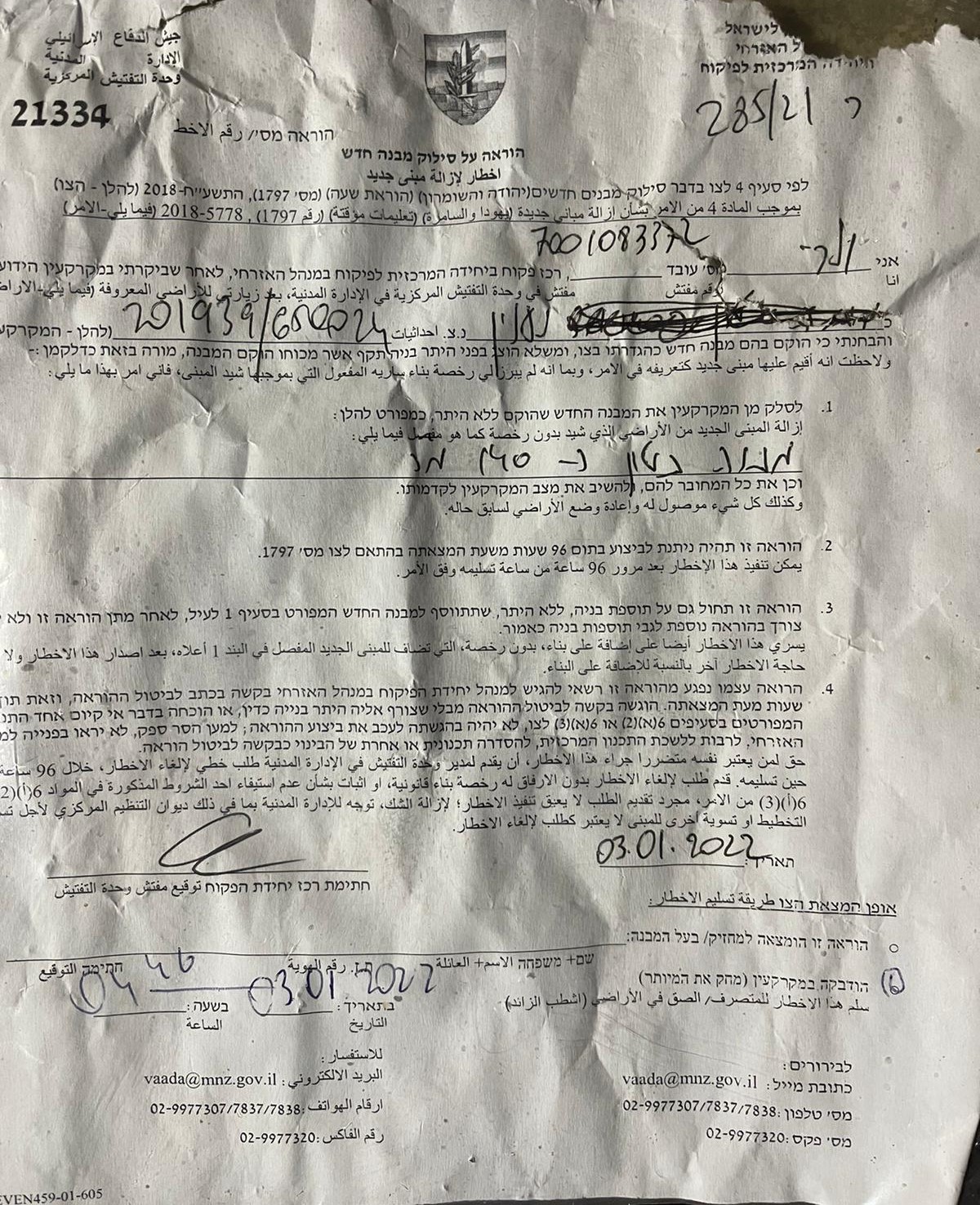
Notice number (21334) was issued in reference to military order (1797) , which gives the owner only 96 hours before the demolition , and the owner never gets the chance to file an objection.
The following table shows more information about the damages:
Affected citizen | Family members | children | Area m2 | The targeted facility | Military order number | |
males | females | |||||
Barakat Al-Khawaja | 1 | 3 | 2 | 20 | Store | 21334 |
Affected citizen Barakat Al-Khawaja told LRC:
“six months ago, I built a store house, and my plan was to build an apartment above it , but the military order destroyed all our future plans.”
Reportedly , for years the occupation authorities notified tens of residential and agricultural facilities in Ni’lin town , especially at Al-Mhalel area, the Israeli occupation is depriving Palestinians from their right to live decently on the land they inherited from their ancstors.
The targeted structure |
Demolition notice |
About Ni’lin:[1]
20 km to the northwest of Ramallah, Ni’lin is edged by the towns of Qibya and Budrus from the north, Al-Midyah town from the southwest, Deir Qidees town from the east and Mod’in and Kiryat Sefer colonies from the south.
Ni’lin is inhabited by 5897 people on a total land area of 15,206 dunums , of which 748 dunums are the village’s built-up area.
The occupation confiscated a total of 3020 dunums for colonial ends, which are detailed as follows:
Hashmona’im colony: it was established in 1985 on confiscated area of 858 dunums from the village. It is now inhabited by 2097 colonists.
Kiryat Sefer: it was established in 1991 on confiscated area of 476 dunums from the village. It is now inhabited by 24,290 colonists.
Mattityahu colony: it was established in 1980 on confiscated area of 657 dunums from the village. It is now inhabited by 1365 colonists.
Colonial bypass road number 446confiscated 408 dunums
The apartheid wallconfiscated 621 dunums for the favor of its construction and isolated 14,083 behind it.
According to Oslo Accords lands classifications, Ni’lin lands are classified as follows:
1,123 dunums are classified as area “B”
14,083 dunums are classified as area “C”
[1] GIS-LRC

This Publication has been produced with the assistance of the EU
The Contents of this publication are the sole responsibility of the individual organization only , and can in no way be taken to reflect the views of the EU