
Related
Demolishing a house for Salah family in Al-Khader / Bethlehem governorate
Violation : Demolishing a house and a fence.
Location: Umm Ar-Rukba – Al-Khader town / Bethlehem governorate.
Date: 16 December 2019.
Perpetrator: The Israeli occupation civil administration.
Victims: Sameer Ahmad Salah.
Description:
Monday Dec 16, The Israeli occupation bulldozers protected by the an army force raided Al-Khader area in Bethlehem , and demolished a house that belongs to Sameer Salah family on the pretext of building without licenses.
Affected citizen Ahman Ya’coub (Sameer’s father) told LRC the following:
“The Israeli occupation bulldozers raided the area and ravaged agricultural lands all the way to get to my son’s house, demolished it and did not give us any time to take out our properties out from the house . Sameer built the house to live in it with his family, like any Youngman who wishes to have a private home, we also have ownership deeds that prove we own the land”.
Noteworthy, in August 21st 2018 , Sameer received a final halt of work notice on his house, and contacted a legal aid institution to follow up his case .
Iyad sbaih from Al-Khader municipality told LRC reporter:
“The occupation heavily targets lands in Umm Ar-Rukba area, within their large scheme The greatest Jerusalem , which mainly aims to annex Gosh Etzion settlement cluster to Jerusalem , in order to achieve that , the Israeli occupation prohibit landowners of Al-Khader from using their lands”
It is important to mention that the occupation bulldozers ravaged the surrounding agricultural land, destroyed the irrigation network , and demolished the fence that surrounds the house.
The following table shows more information about the targeted family:
owner | area | Family member | children | Nature of the building |
Sameer Salah | 120 | 6 | 4 | Inhabited |
|
|
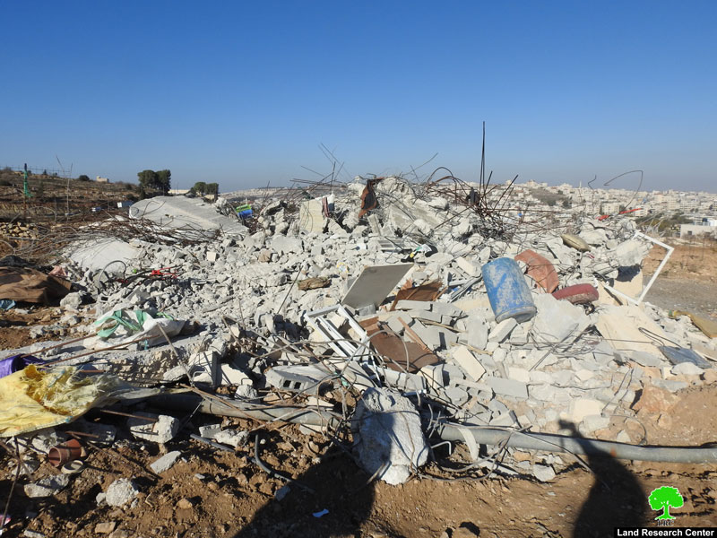
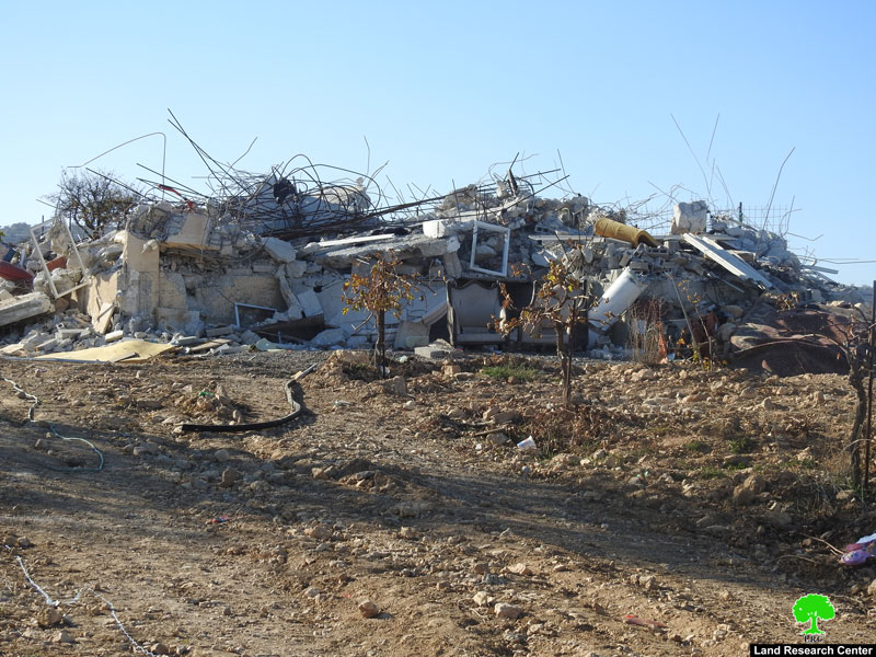
the house demolition
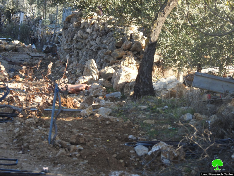
Demolishing the fence
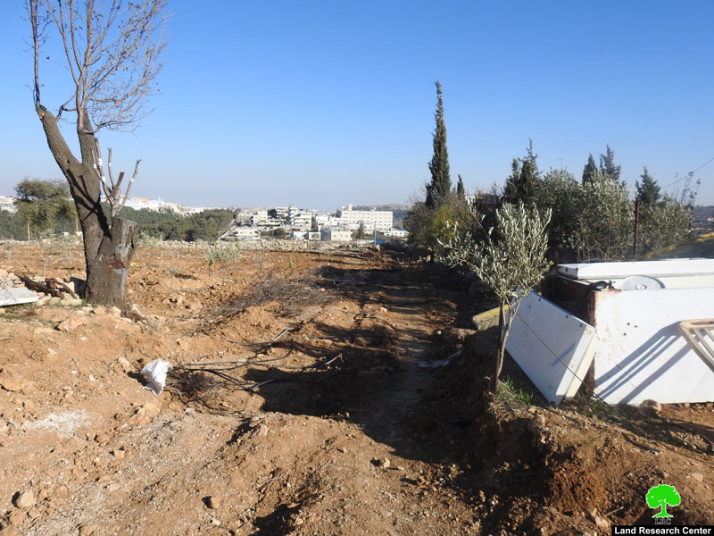
Ravaging the land
About Al-Khader village:[1]
Al-Khader village is located 4 km from the western side of Bethlehem, it is bordered by Beit Jala and Batir from the north, Hussan and Nahaleen villages from the west, Aldoha, Wadi Rahhal, Beit Jala villages from the east, and Wadi Al-Nees from the south. Its population is 9774 people in 2007. Its gross area is 8,279 donums; 184 of them are the construction area.
The Israeli colonies have despoils 56 donums from the village's lands; two are colonies existed upon a part of the lands. The first one " Efrat" was constructed in 1979 A.D; they have usurped 33 donums, and its population 7037 colonists. The second one " Nafy Danial" eas constructed on 1982A.D; they have usurped 23 donums, and its population is 1073 colonists. A part of which is established upon the village's lands.
The bypass roads number 60 and 375 also despoiled more than 487 donums. In addition to establishing the apartheid upon its lands which causes the demolishing of 280 donums and isolating of 5638 donums behind it. The length of this apartheid existing upon the village's land is 2,805 meters.
The village's lands are classified in accordance with Oslo concord into areas( A,B ,C). Area A composes 10% , Area B 6%, Area C is the greatest area and it is under the total occupation domination, and it composes 84% from the total area. The areas are clarified in donums as following:
Area A (808) donums
AreaB (475) donums
Area C(6,996) donums .

The contents of this document is the sole responsibility of LRC and can under no circumstances be regarded as reflecting the position of the European Union.
[1] GIS-LRC