Related
Israeli to plant a new military point in Beita town / Nablus governorate
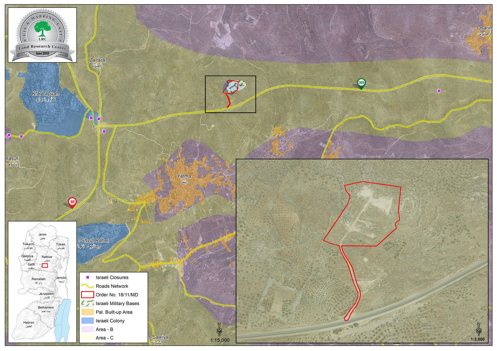
Violation : New military point.
Location: Beita town- Nablus.
Date: June -10-2018.
Perpetrator: The Israeli occupation army.
Victims: Palestinian families.
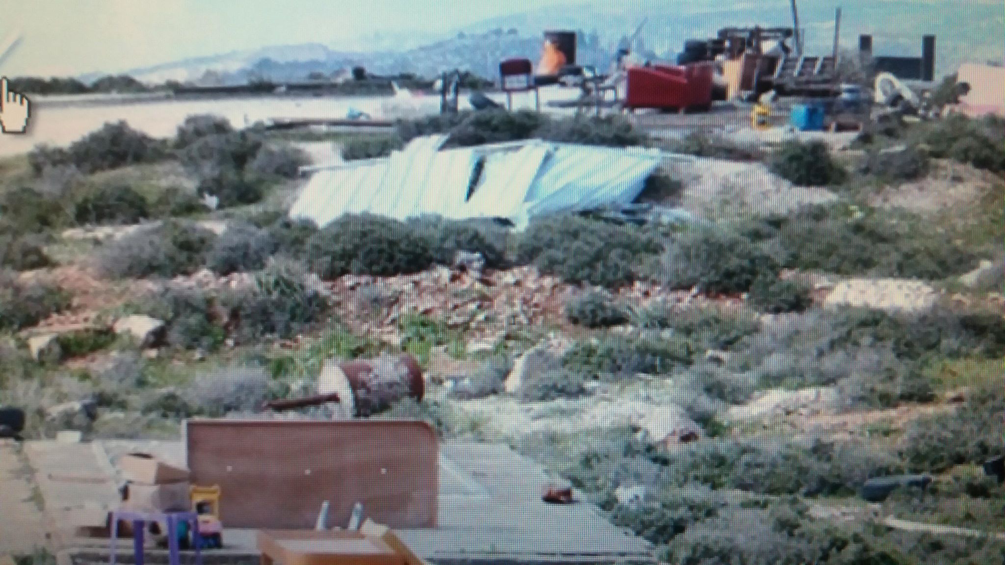
Description: The Israeli occupation forces installed 2 small caravans on Jaball Sbaih south Beita town.
The caravans were installed on lands belong to Mas’ud Farahat, Jamal Abu Ayash and Khader Khdeir.
Head of Beita municipality Foad Ma’ali told LRC observer:
“I contacted the Palestinian cooperation office and they replied quoting from the Israeli side “This is a temporal military point was installed to remove “Tipuah” outpost , 2 kilometers west of the location.””
Ma’ali asserted that he was worried that the Occupation forces will locate on Jabal Sbaih. Noteworthy, the 60 days deadline of demolition military orders of facilities and houses in Beita town is close to an end, Ma’ali is worried that the occupation forces will implant a demolition campaign.
In 1984 the Israeli forces installed a checkpoint on the same location to observe Trans-Samaria highway, which caused the restriction of farmers’ movement, this situation carried on until 1995 when the occupation removed the outpost.
About Beita:
13 km to the south of Nablus, Beita is founded with a total land area of 17622 dunums, of which 1711 dunums are classified as area "C". Beita's built-up area reaches up to 3693 dunums accommodating 12,000 people.
Beita town is built over mountains, the highest of them is Arma Mount (783) meters above sea level.
Beita town is clear from settlements.