2021-04-01
Colonists impose control over ‘Ein Fasayil Spring and prohibit farmers from accessing postures / Jericho Governorate
Violation: imposing control over a water spring.
Location: Fasayil village / North Jericho Governorate.
Date: April 1st 2021.
Perpetrators: Groups of colonists’ gangs.
Victims: Herders at the area.
Description:
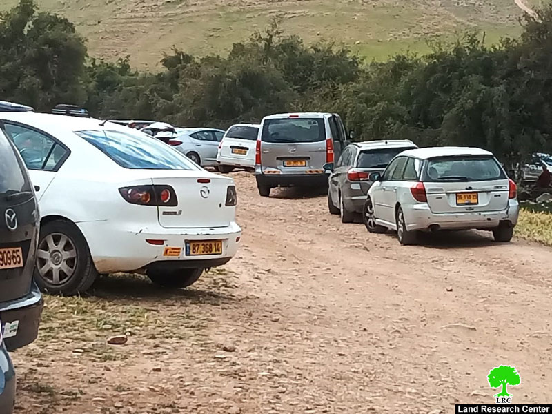
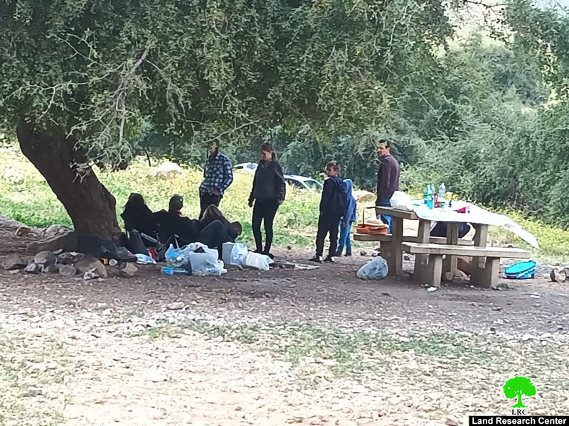
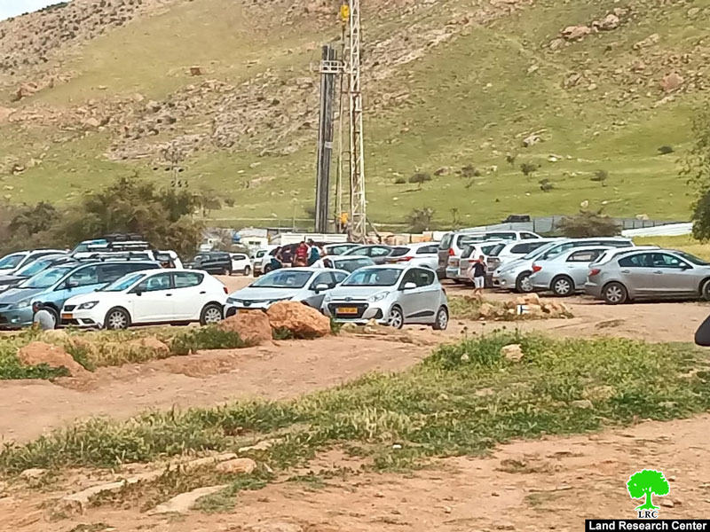
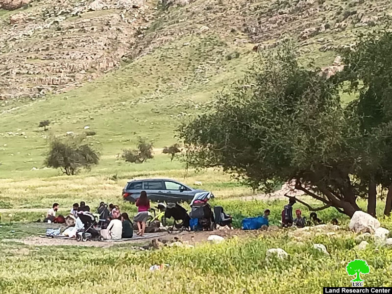
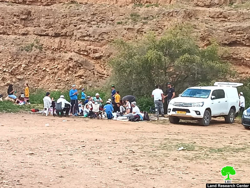
As part of Israeli Schemes that aim to empty the area from its indigenous people. Thursday, April 1st 2021, a group of colonists closed off ‘Ein Al-Fasayil north Jericho. Israeli illegal colonists prohibit Palestinian herders from access to the spring water using gun threats.
Photos 1-5: Colonists assaults on Al-Fasayil spring
One of the Victims, Mohammed Al-Ka’abneh (34) told LRC:
“throughout the past years, ‘Ein Fasayil area have been full of Bedouin dwellers, searching for water and postures. And during the past seven years the occupation waged a campaign to empty the area from its Bedouin residents and turn it into an Israeli touristic site, from that point the occupation started closing the area step by step. Today as part of Jewish holidays celebrations the area was opened only to Jewish visitors.”
Fasayil village north Jericho is heavily targeted by the occupation authorities and colonists through turning most of its lands to closed military zones and banning construction, most locations witnessed or are witnessing colonial activities.
From the north, Fasayil is surrounded by colonies of Yafit and Pezael (Fezael), Tomer and Gilgal and Netiv Hagedud from the south in addition to a bypass that links the northern colonies with the southern ones.
As a result of accelerating Judaization, herders suffer to access postures, which resulted in Bedouins immigration to other communities.
The Palestinian village of Al-Fasayil:[1]
Fasayil is 23 km north of Jericho and its built-up area is 147 dunums only ( Fasayil village council). This area does not meet the natural increase of population. More than 30 residences and barracks were demolished as a result. It has a population of 1132 (according to Palestinian Central Bureau of Statistics in 2010). It is surrounded by a number of illegal Israeli colonies that limit the expansion of the village and deprive its inhabitants from using their own lands.
[1] GIS-LRC

This Publication has been produced with the assistance of the EU
The Contents of this publication are the sole responsibility of the individual organization only , and can in no way be taken to reflect the views of the EU
