2024-08-22
The occupation demolishes agricultural and residential facilities in the village of Safa in the Ramallah Governorate
Violation: Demolition of residential and agricultural structures.
Location: Safa Village / Ramallah Governorate.
Date of Violation : 22/08/2024.
Perpetrator: The so-called Israeli Civil Administration.
Affected Parties: Two families residing in the area.
Description:
On Thursday morning, August 22, 2024, a large force of the Israeli military, accompanied by demolition teams from the Israeli Civil Administration, raided Safa village, located to the west of Ramallah Governorate. The targeting focused on the southern part of the village, near the bypass road known as Route 443, and also close to the area where land is being cleared for the construction and expansion of an Israeli industrial zone on the village's land.
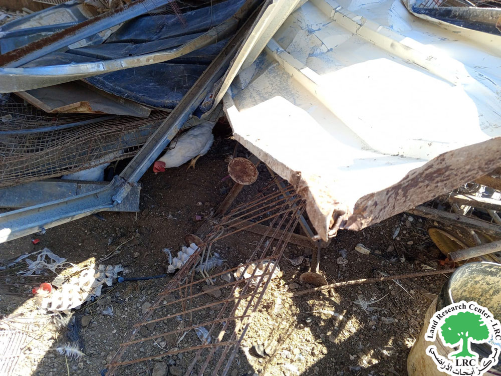
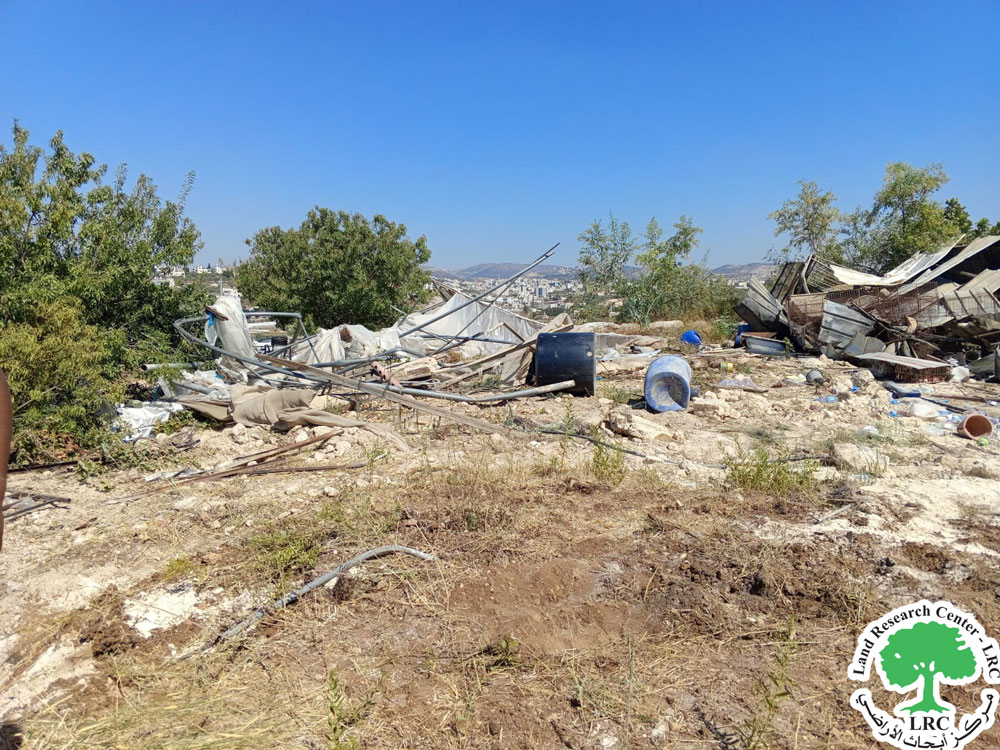
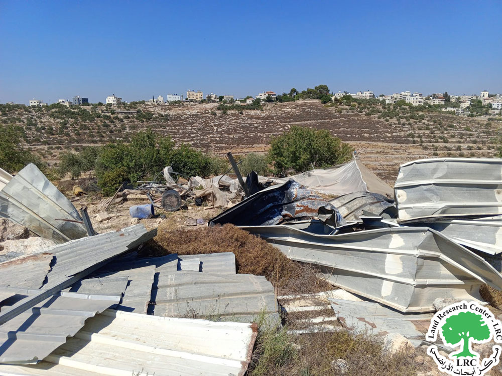
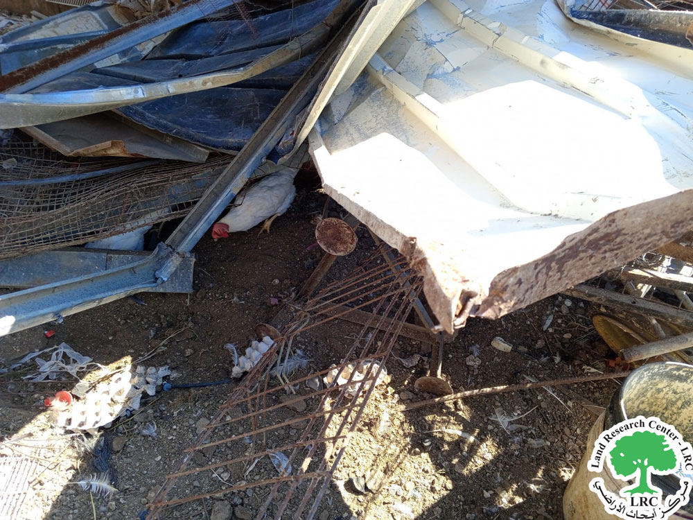
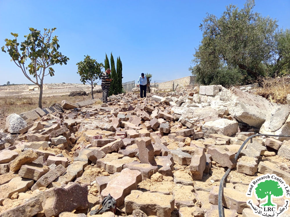
The occupation forces proceeded to demolish and destroy agricultural structures, including a poultry barn for egg production, agricultural greenhouses, and a farm room, in addition to several residential and agricultural tents. The occupation claims that these structures were built without permits, even though they have been in place for over nine years in the area.
The following table shows the details of the damages according to the field monitoring at the site of the violation:
Note | Nature of damage | children number | Female Number | Family member | Impacted Farmer |
A metal sheet chicken coop used for raising 900 laying hens, with an area of 110 m². Several chickens were killed under the rubble, and some managed to escape. Additionally, 4 solar panels were destroyed, along with the water pipeline, and feed and seeds were damaged. A 150 m² agricultural greenhouse was destroyed. A 25 m² metal sheet agricultural room was also destroyed. | 2 | 6 | 11 | Mohammad Ibrahim Yousef Tumaleh | |
The mother and her two daughters are in a state of permanent disability. | A house with brick walls and a roof made of metal sheets covered with plastic, with an area of 60 square meters. | 0 | 3 | 4 | Taleb Atallah Salama Al-daghameen |
The occupying authorities are located near the area where the demolition took place; an industrial settlement area to the south of the village of Safa. The settlement road 443, which runs through the West Bank connecting Jerusalem and Tel Aviv, is about 250 meters to the south of the location where the demolition occurred
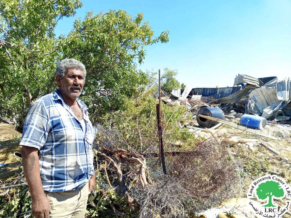
The farmer, Taleb Attallah al-Dghamayn, reported to the researcher at the LRC the following:
"I have been living here for more than ten years, as I previously lived in the area of Samoua. I support a family of four: my wife, two daughters, and myself. The wife and daughters suffer from permanent physical and speech disabilities. I own only the house I live in, and I work as a shepherd. Now, we have no shelter or place to stay, except for a tent provided by the Red Cross. I never received any prior demolition notice, which is why I did not open a legal file. However, I did receive verbal warnings about the demolition, but I did not pay attention to them. The occupation destroyed everything, and I now own nothing. Even the belongings in the house were not allowed to be removed and were destroyed along with the house."
Safa village
Safa village is located to the northwest of Ramallah, 18 kilometers away. The total area of the village is 11,000 dunams, of which 3,000 dunams are subject to colonial activities and isolated behind the separation wall. The area of the town's zoning plan is 794 dunams.
According to the 2017 census, the population of the village is 4,350 people, 14% of whom are refugees, with the remaining population distributed across two main families: Karajah and Falma.
مشروع: حماية الحقوق البيئية الفلسطينية في مناطق "ج" SPERAC IV - GFFO
Disclaimer: The views and opinions expressed in this report are those of Land Research Center and do not necessarily reflect the views or positions of the project donor; the Norwegian Refugee Council.
إخلاء المسؤولية: الآراء ووجهات النظر الواردة في هذا التقرير هي آراء ووجهات نظر مركز أبحاث الأراضي ولا تعكس بالضرورة وجهات نظر أو مواقف الجهة المانحة للمشروع؛ المجلس النرويجي. للاجئين
