2022-08-11
Ravaging a Cement Floor in Rantis Village/ Ramallah governorate
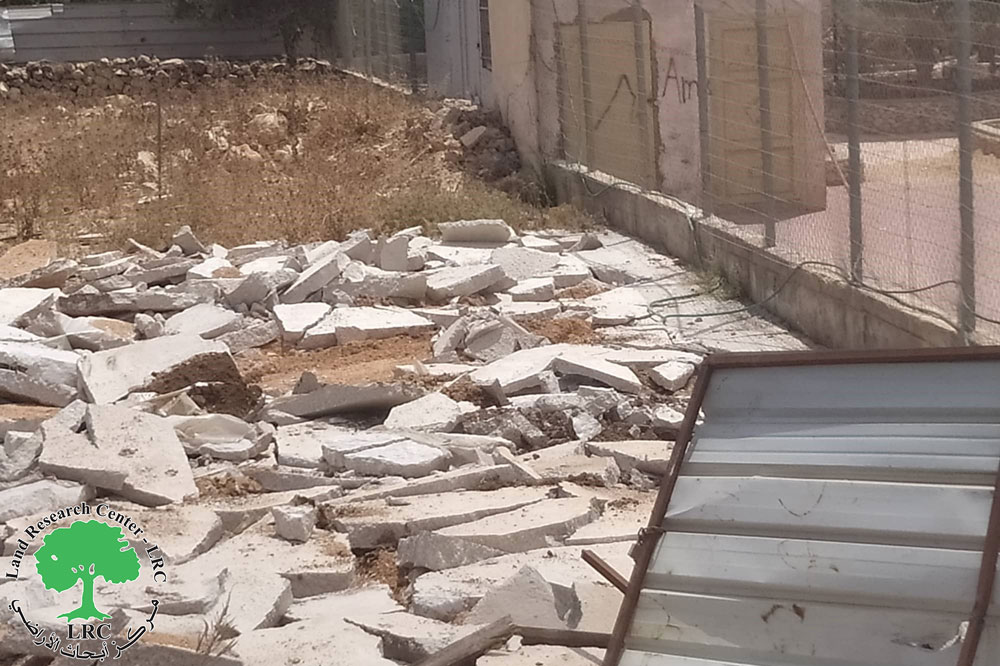
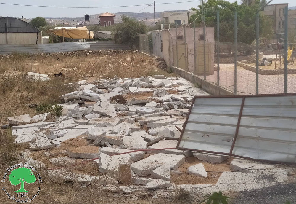
Violation: Ravaging a Cement floor on the pretext of building without a license.
Location: Rantis village / Ramallah and Al-Bireh governorate.
Date: August 11th 2022.
Perpetrators: The building inspector at the Israeli Civil Administration.
Victims: Citizen Majdi Wahdan.
Description:
Thursday , August 11th 2022 , The building inspector at the Israeli Civil Administration raided the Western part of Rantis Village North Ramallah , and carried on ravaging a cement floor with a total area of 42 m2 that was used as a shack for selling car parts.
The affected citizen Majdi Hassan Told LRC the following:
“We were planning to build a shack in order to use it as a store for cars , but I was shocked that the occupation ravaged the floor without any previous notices , the occupation claims that the demolition was for security purposes.”
The affected citizen supports a family of (5) among the (1) female and (3) children.
Noteworthy, The Occupation Demolished a number of residential and agricultural facilities at the town , the occupation’s aim is to make life intolerable for citizens , and hinder any developmental projects.
Rantis town:[1]
The town of Rantis is located 35 km northwest of Ramallah, bordered on the north by the village of Al -Liban Al Gharbi, on the west by the the Green Line, on the east by Al- Liban Al Gharbi, and on the south by Shuqba. Its total population is 3179 people, according to the census of 2017. Its total area is 10,780 dunums, of which 647 dunums are a built-up area of the village.
Since the Israeli military occupation of the West Bank in 1967, Rantis’s land has been under constant confiscation as followed:
218 dunams were seized to build the bypass road No. 465 connecting Israeli settlements with Israel;
414 dunums were confiscated for the construction of the Apartheid wall, and 1616 dunums were isolated behind it.
The land of Rantis is classified according to the Oslo Agreement as followed:
- Areas classified as B – 1,328 dunums.
- Areas classified as C -9,452 dunums.
[1] GIS-LRC


