2018-03-08
Land Takeover in Burin / Nablus Governorate
Violation: Land- grab order
Location: Burin village- Nablus Governorate
Date: March 08, 2018
Perpetrators: Israeli occupation army
Victims: Burin Secondary School for Boys
Details:
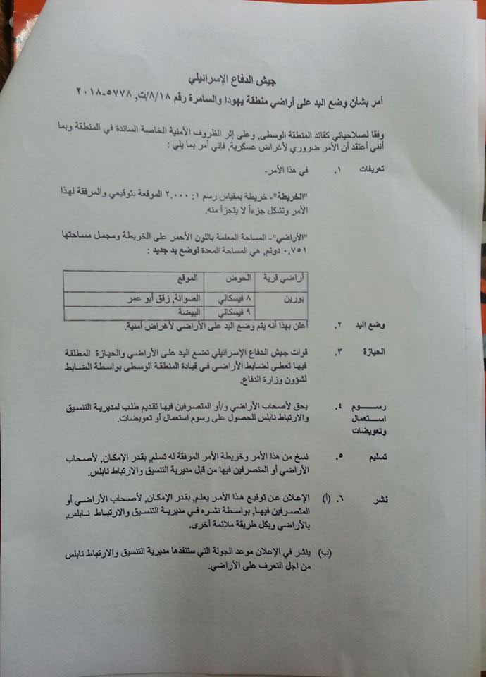
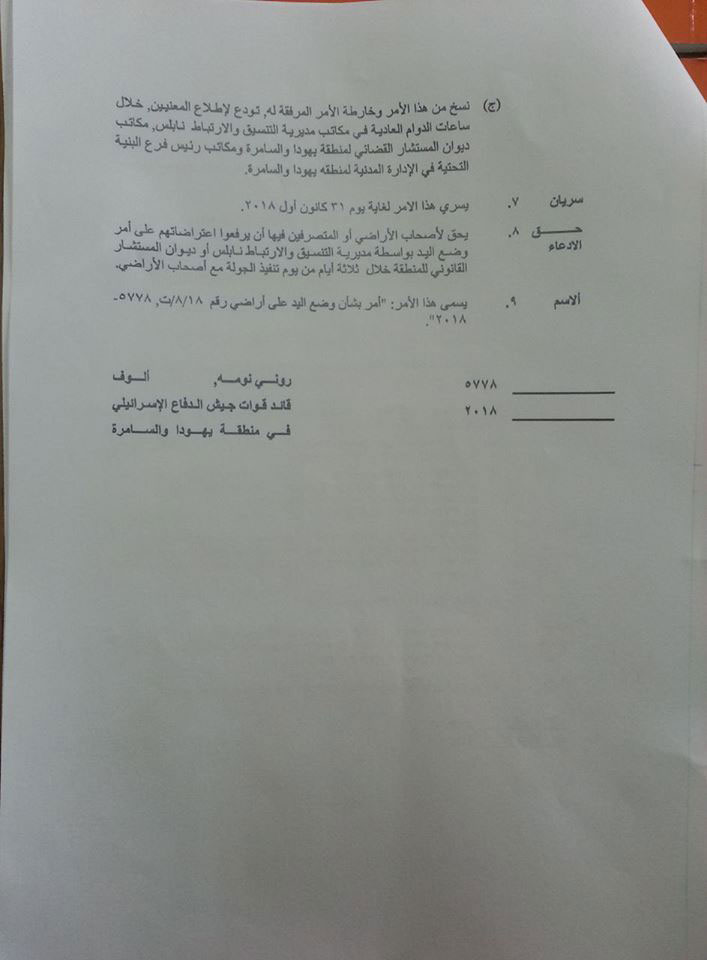
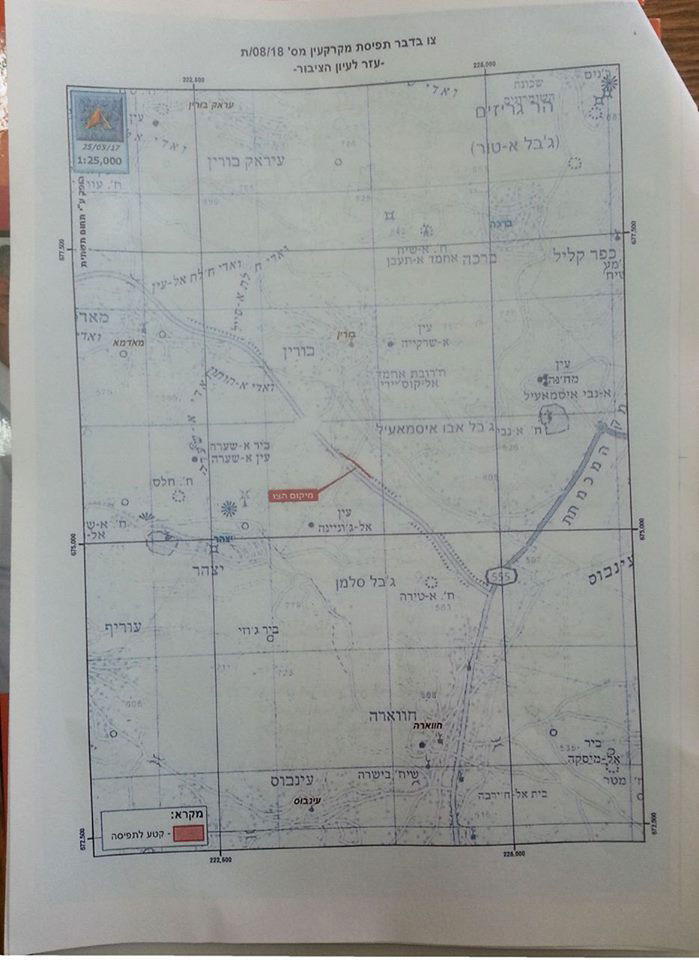
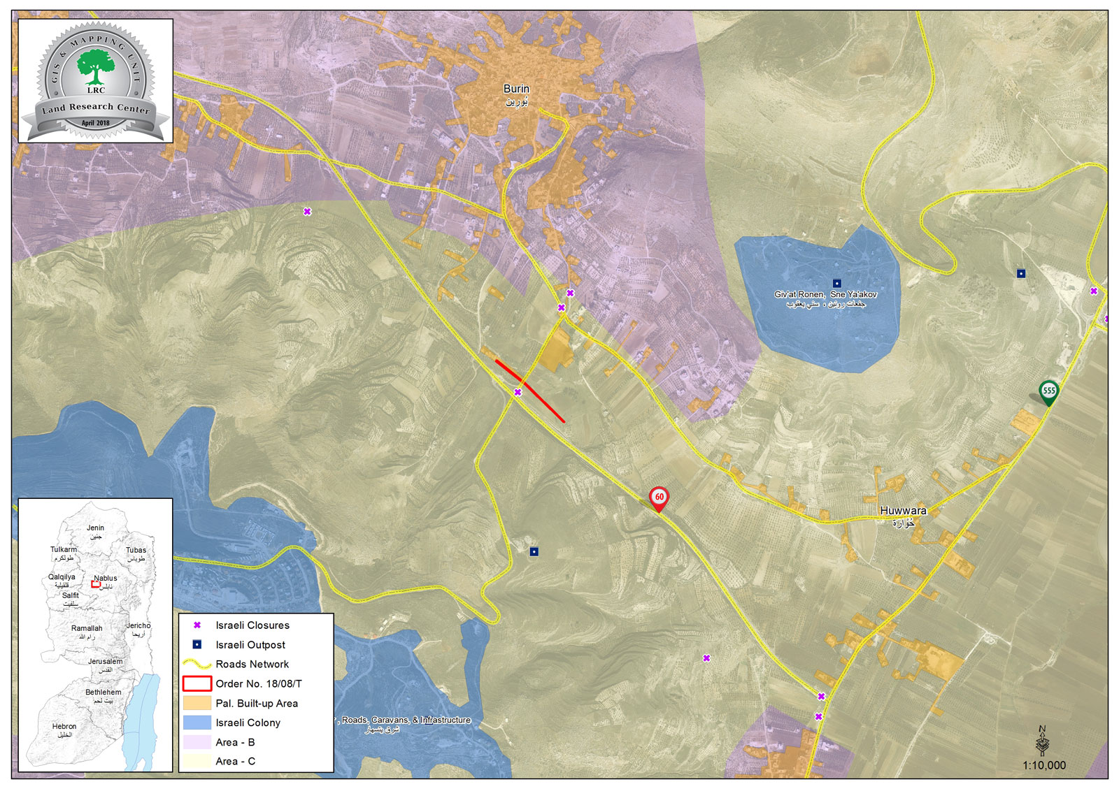
The Israeli army issued a military order to seize 751 m 2 of the land of Burin School in the village of Burin, south of Nablus. The military order was handed over to the administration of Burin secondary school on 08/03/2018. The order, number 08 / T, 5778- 2018, was entitled "Land grab order".
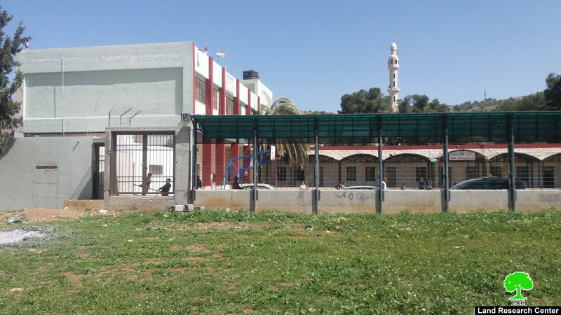
Burin Secondary School, whose land is targeted to be confiscated by Israeli authorities
Mr. Ibrahim Omran, Principal of Burin School, told the LRC researcher that:
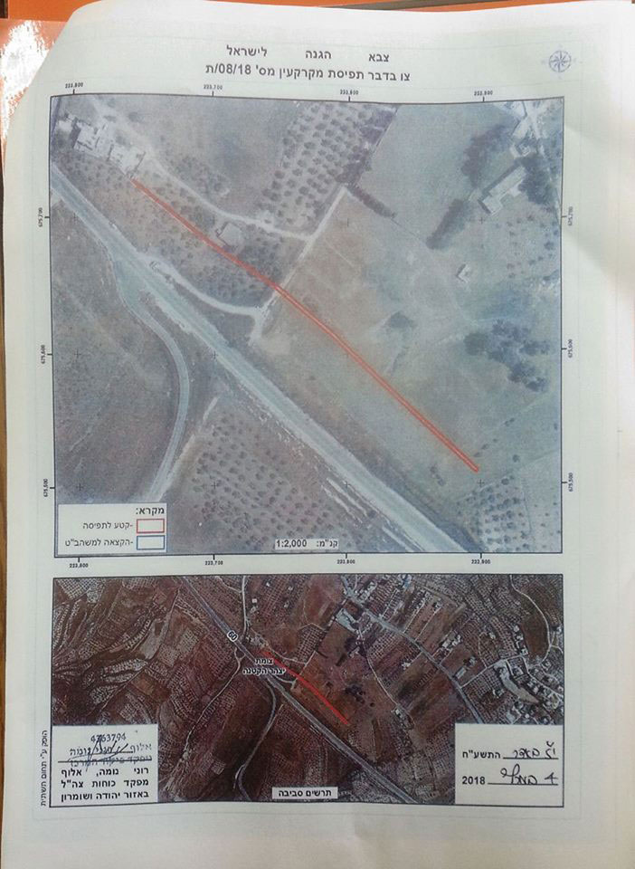
A military force arrived at the school on Thursday (March 8th) and handed me a military order with maps that illustrate how a fence will be built to separate a bypass road from the school. The road runs from the southern side of Nablus and connects several settlements that are located west, south and east of Nablus, including the Israeli settlements of Yitzhar and Kedumim "Itamar" and "Elon Moreh" and others together. The order will take effect from 4/3/2018 to the end of this year (31/12/2018) as stated in the order.
|
|
|
|
The military order issued by the Israeli army
According to the military order, the army will take over the estimated land area (0.751 dunums) for security purposes.
Omran added,
"The Israeli army had swept away 250 square meters of the school land on January 13, 2018. While we were protesting this aggravation, the Israeli patrol officer informed us orally that this part of the land would be soon taken for security reasons.".
The lands that were ravaged by the occupation and they would make the route of the fence that will be erected by the Israeli authorities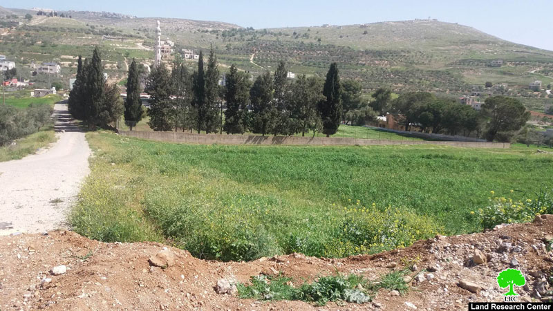
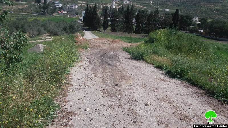
shows the distance between the school and the future location of the fence
Since the beginning of this year, the Israeli occupation forces have preventing the students of Burin school from using their playground to play football or other recreational activities like normal school-goers. This has rendered the playground unusable because of the grass length and the inability to cut it short or use the space because of Israeli practices.
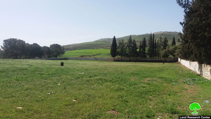
The targeted pitch
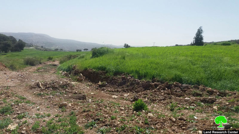
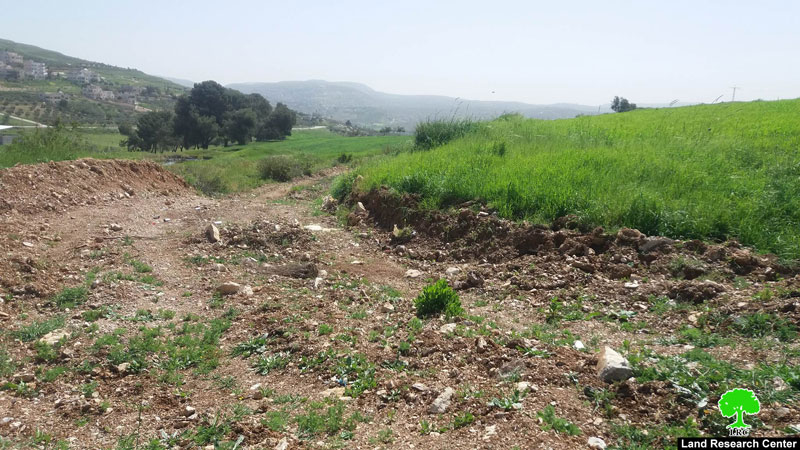
The Israeli authorities also closed the road linking the Burin school to the bypass road with dirt, preventing the movement of students and teachers to and from the school.
Photos 10 + 11: The space between the school and the bypass road, now a dirt path
It is worth mentioning that the land of Burin School is registered in the treasury of the Hashemite Kingdom of Jordan (50 dunums in total). The fence will cut off 10 dunums of the school, and part of it will be confiscated for building a security fence adjacent to the bypass road.
About Burin:
It is located 8km to the south of Nablus city and is of 10,416 dunums in area, of which 335 dunums are the village’s built-up area. Burin has a total population of 3500 people. Two Israeli colonies are founded on the lands of Burin which are:
- Bracha: it confiscated 205 dunums from Burin’s lands
- Yizhar: it confiscated 150 dunums from Burin’s lands
This document has been produced with the financial assistance of the European Union

The contents of this document is the sole responsibility of LRC and can under no circumstances be regarded as reflecting the position of the European Union.
