2019-03-12
The occupation confiscates a caravan in Al-Walaja / Bethlehem governorate
Violation: confiscating a caravan in Al-Walaja.
Location: Al-Walaja / Bethlehem governorate.
Date: 12/03/2019.
Perpetrator: The Israeli occupation civil administration and army.
Victims: Mahmoud Al-Araj.
Description:
A vehicle from the Israeli occupation civil administration raided Al-Walaja in January 23, and served a stop work order on a caravan , on the pretext that it is placed in C area without licensing. The “caravan” was used as a store for tools.
According to the military order, the subcommittee sets January 30 as the date of the subcommittee session in Beit El court to decide the fate of the structure, the owner headed to a legal aid organization to make the necessary procedures.
In March 12th 2019, about 8:00 am, The Israeli occupation army raided Al-Walaja and confiscated the caravan.
The following table shows more information about the family:
| Name | Family members | Children | Status of the building | Military order number |
| Mahmoud Al-A’araj | 5 | 3 | caravan | 266800 |
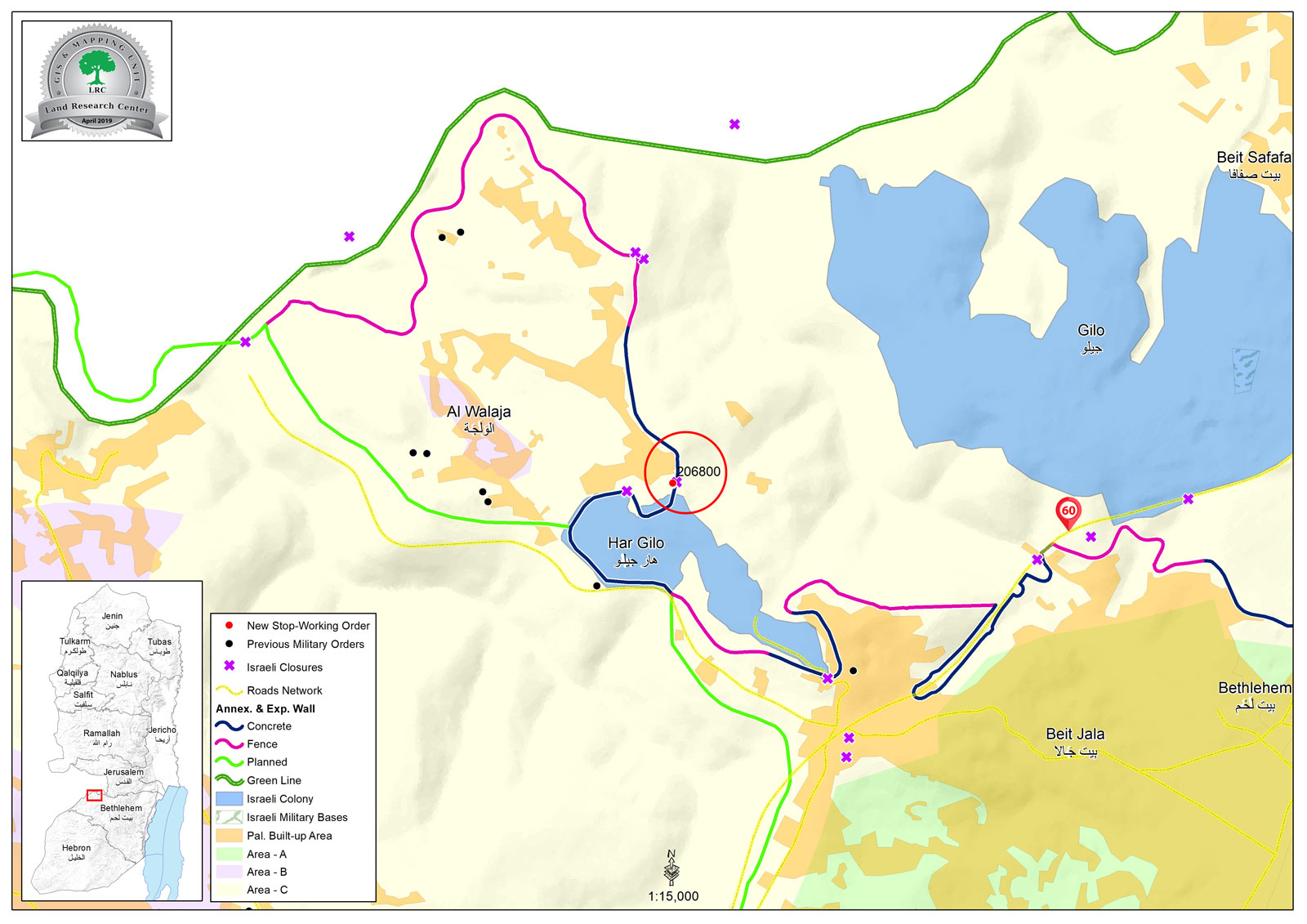
Noteworthy, Al-Walaja is a hot spot for Israeli attacks and assaults , due to its location , half of Al-Walaja is in borders of the Palestinian authorities and the rest are with the occupation’s municipality , which divides families apart, and makes residents exposed to the occupation’s military orders and assaults.
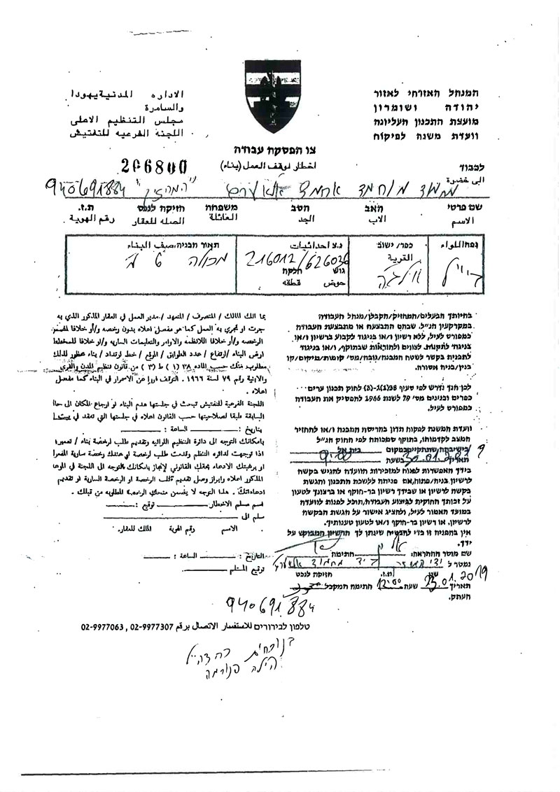
the stop work order
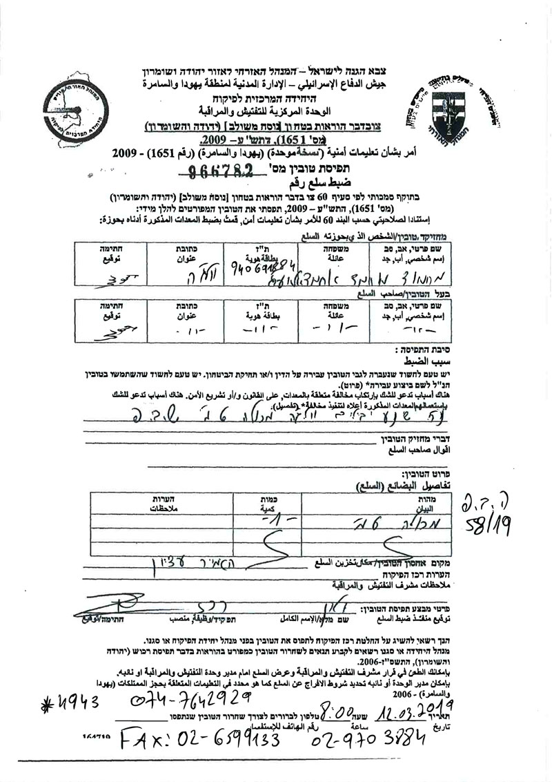
notice of confiscation of goods
Al Walaja:[1]
5 kilometer northwestern Ramallah, Al Walaja is surrounded by Battir (west), Sharafat (east), and Beit Jala (south). Al Walaja has a total population of 2041 people according to statistics conducted in 2007. It has a total area of 4327 of which 446 dunums are a built-up area of the village.
The Israeli occupation devoured 155 dunums of the lands of the village for two colonies. The first one is Har Gilo which was built in 1972 and confiscated 104 dunums of the village. It is inhabited by 365 colonists. The second is Gilo which was built in 1981 and devoured 51 dunums. It is inhabited by 27569 colonists.
Moreover, bypass number '436 took over 246 dunums of the village lands in addition to the Apartheid Wall that damaged 69 dunums and is expected to isolate 4171 dunums. The length of the wall built on Al Walaja lands is 6942 meters.
According to Oslo Accords, 3% of Al Walaja is under Area B (PA is in charge of civil matters with Israel responsible for security). However, most of the village lands (97%) is under Area C (Israel maintains full security and administrative control). Here are the area in dunums:
Area B (115) dunums
Area C (4056) dunums
[1] GIS-LRC

The contents of this document is the sole responsibility of LRC and can under no circumstances be regarded as reflecting the position of the European Union