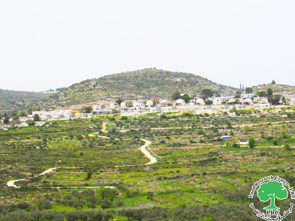
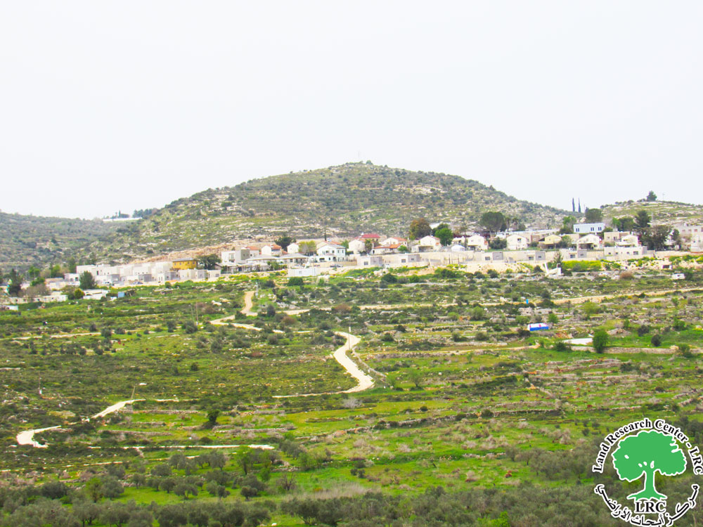
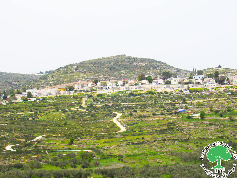
Violation: Construction of a colonial road between olive groves
Location: As-Sawiya village, south of Nablus.
Date of Violation: March 20, 2024.
Perpetrator: The settlement of "Rahalim."
Affected Party: Farmer Basim Jamil Ali Blasmeh.
Description:
On the morning of Wednesday, March 20, 2024, the settlers began bulldozing and constructing a new colonial road to serve the "Rahalim" settlement, which is established on the lands of As-Sawiya and Yatma villages south of Nablus.
According to field observations, settlers constructed a road approximately 800 meters long through As-Sawiya’s olive groves in the area known as "Al-Hawaytat." This road aims to facilitate settlers' access to the targeted settlement area. The affected land belongs to farmer Basim Jamil Blasmeh, who supports a family of six, including three females and four children.
Activist Ahmad Al-Ghafri reported to the Land Research Center researcher:
"The main goal is to facilitate settlers' access to these lands and thus facilitate the control over them. This means, in the future, an expansion of the settlement on these lands. Notably, there are 35 dunams located on both sides of the road."
Destructive acts by settlers, including land theft, are among the primary methods used to pressure Palestinian farmers in rural areas. This creates a seamless connection where the Israeli army and settlers interchange roles, with the land and Palestinian farmer being the victims. Over the past decade, numerous incidents of burning Palestinian trees have been recorded, with settlers caught committing these acts by the Israeli army. However, there has been no legal condemnation or punishment for the settlers' crimes. Instead, there is a lack of serious consideration for citizens' complaints, resulting in the burning of hundreds of olive and almond trees, the declaration of many agricultural areas as military zones to avoid clashes with settlers, and settlers exploiting this to burn more olive trees and seize land for expanding existing settlements.
General Information about As-Sawiya Village:
As-Sawiya is located south of Nablus, approximately 16 km from it. The total area of the village is 10,710 dunams, with 310 dunams designated for built-up areas. According to 2007 Central Bureau of Statistics figures, the population was 2,393. Israeli settlements and roads have seized about 2,029 dunams of As-Sawiya’s land, with the "Eli" settlement alone taking around 1,576 dunams.
The village relies on rainwater for drinking and irrigation, and on a spring east of it, with its water piped to an old reservoir located half a kilometer from the village. There are no medical services, maternity and child care centers, or ambulances. Surrounding it are three ruins: Khirbat As-Sawiya to the east, Khirbat Al-Barqit to the northeast, and Khirbat Kamuniya between Yassouf and As-Sawiya.
As-Sawiya Village:
As-Sawiya is situated 20 km south of Nablus, bordered to the north by the villages of Yatma and Yassouf, to the west by Al-Lubban Al-Sharqiya, to the east by the villages of Talfit and Qabalan, and to the south by Al-Lubban Al-Sharqiya and the "Eli" settlement. As of 2017, its population was 2,761. The total area is 10,733 dunams, with 310 dunams for village construction. The occupation has confiscated 2,662 dunams of its land, including 2,022 dunams seized by settlements.
Name of Colony | Established year | Area of confiscated land | Number of colonists | Total Area of the Colony |
Eli | 1984 | 1543 | 4191 | 3360 |
Rekhalim – shafot Raheel | 1991 | 479 | 812 | 547 |
2- The bypass road number 60 has appropriated 640 dunams of the village's land.
Land classification according to the Oslo Agreement for the village:
- Areas classified as B: 1459 dunams
- Areas classified as C: 9274 dunams
- The colonial road constructed by the settlers


